The Cannescast 2024
Continue reading

MAXimum Earth
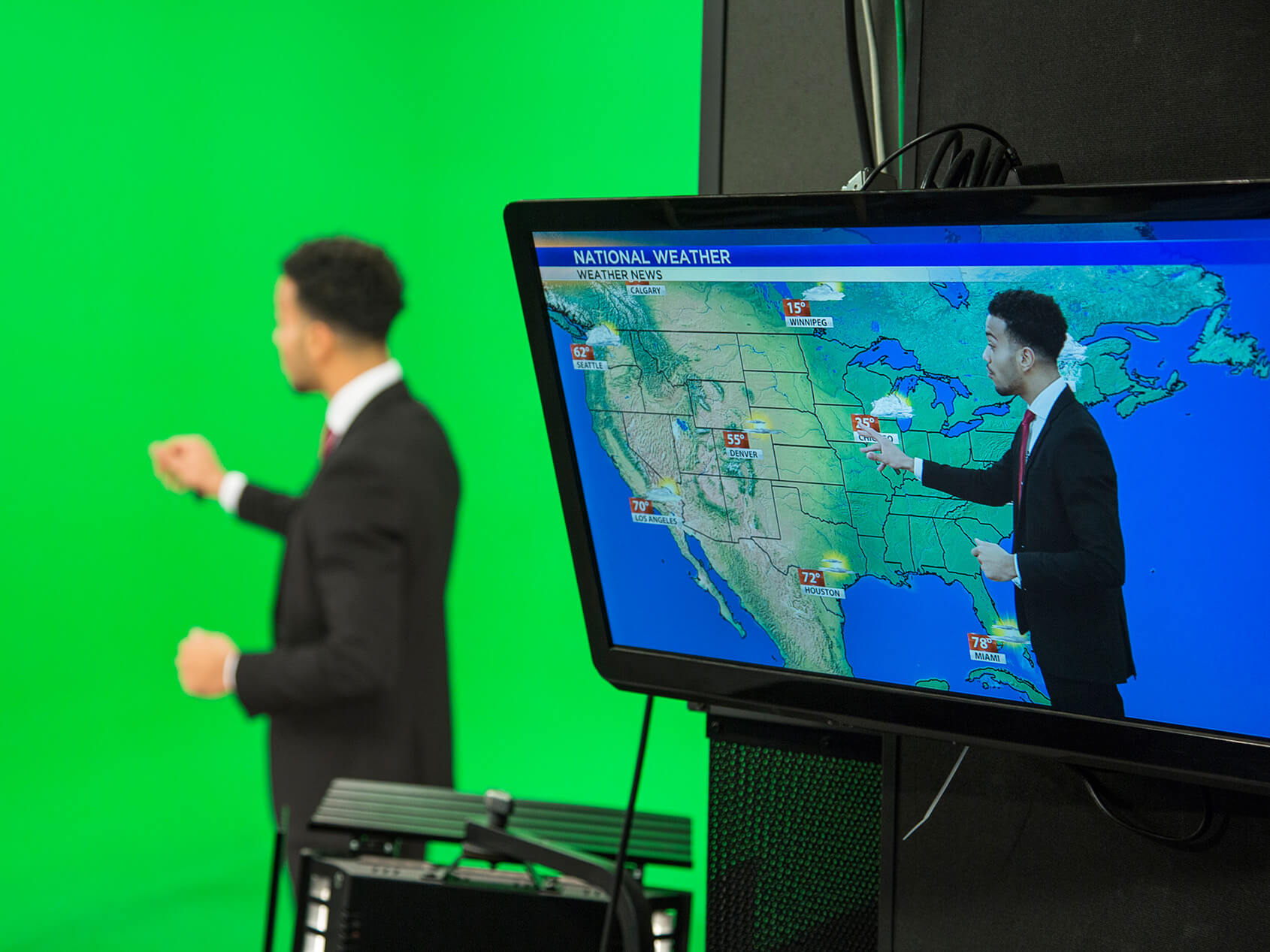
Differentiate local on-air experiences with stunning, realistic 3D weather map visualizations.
Turn your weather maps into accurate, realistic experiences for compelling, hyperlocal coverage
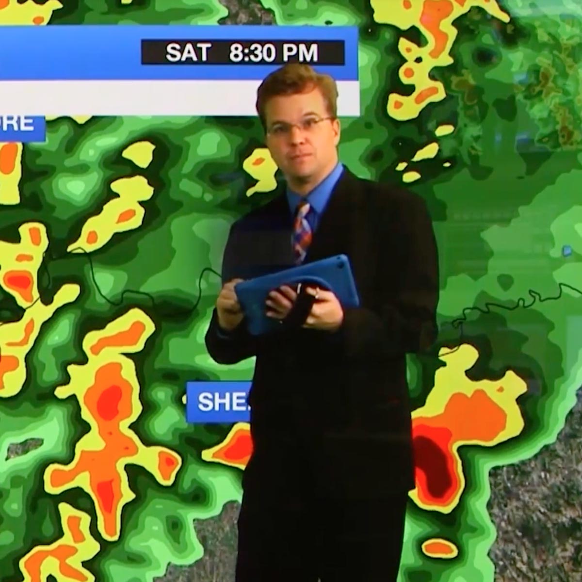
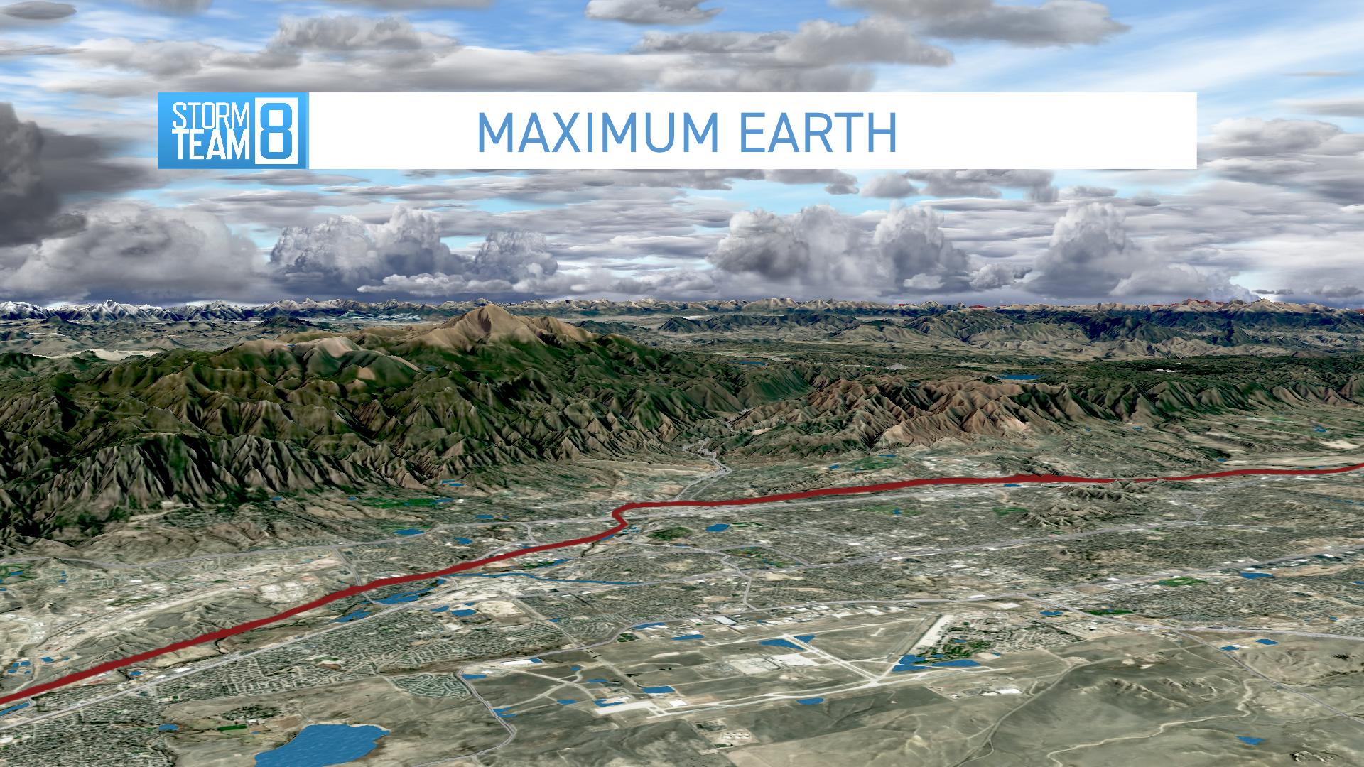
Local TV viewers expect quality from weather map content — in fact, more than 70% of a weather hit typically includes maps. MAXimum Earth includes expanded high-resolution terrain data and rendering to cover virtually every market big and small, creating dynamic map views from cities and streets to rivers and ponds and beyond. Take advantage of detailed topography to tell traffic stories, or highlight local news and sports events.
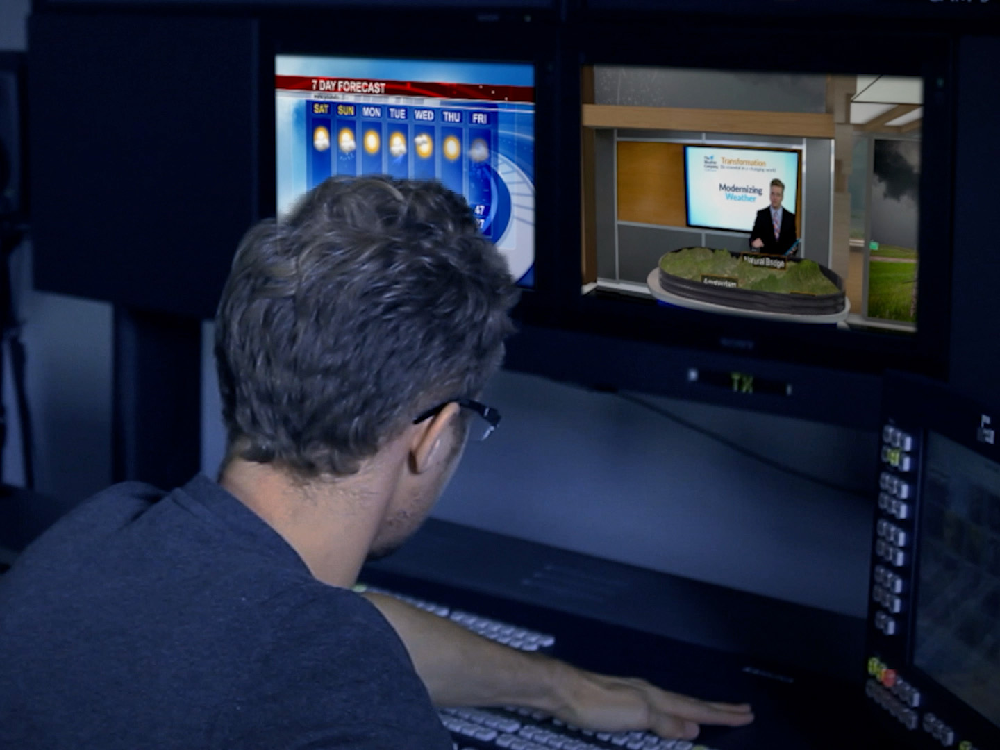
Captivate your audience
Stand out by improving the overall quality of your weather map presentation. MAXimum Earth applies new cloud-based material and 3D rendering techniques to create more detailed and engaging map views.
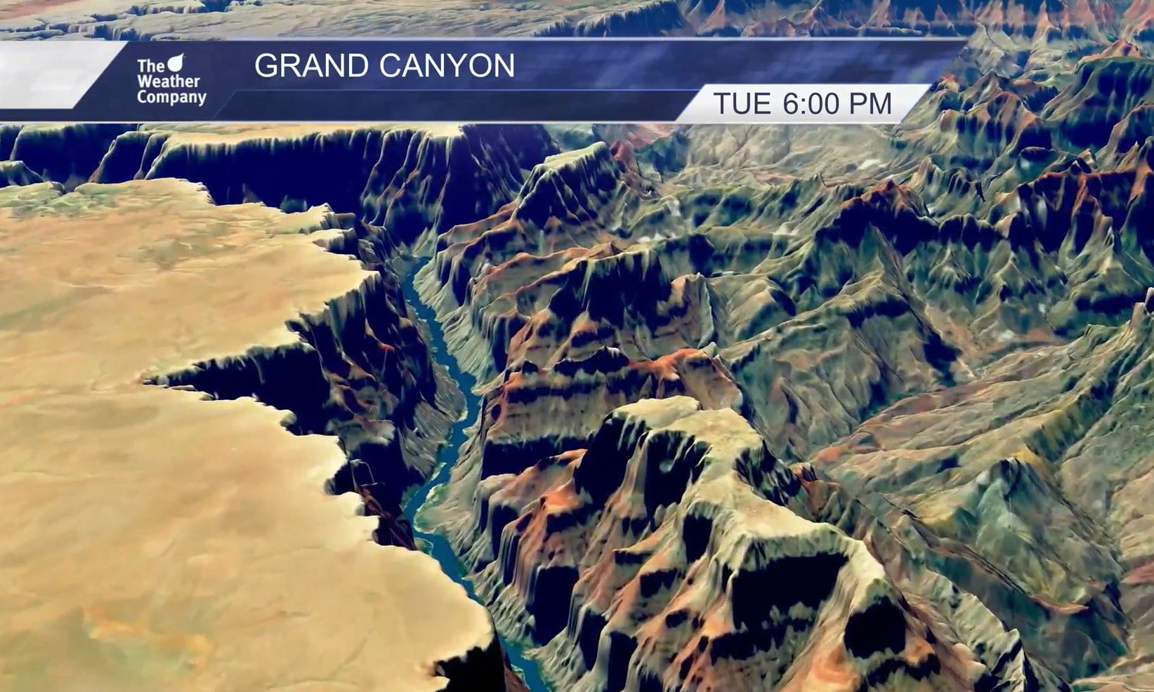
Product spotlight
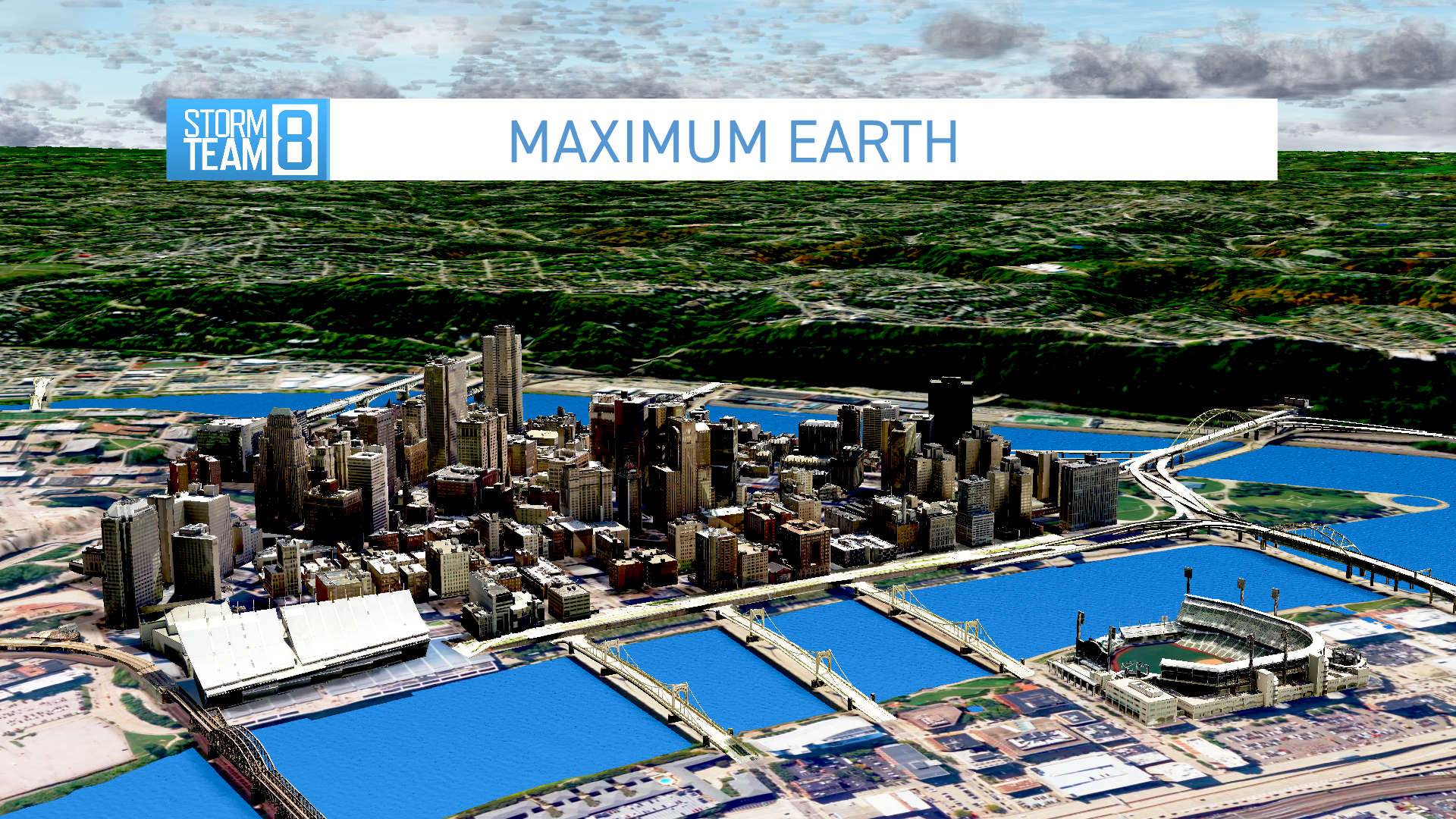
3D cityscape display: Pittsburgh area
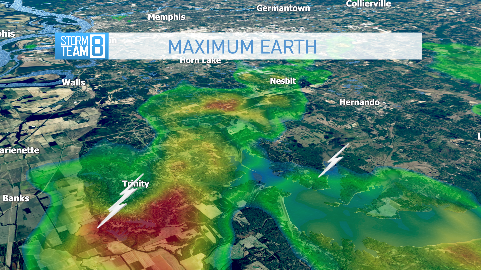
MAXimum Earth radar overlay example
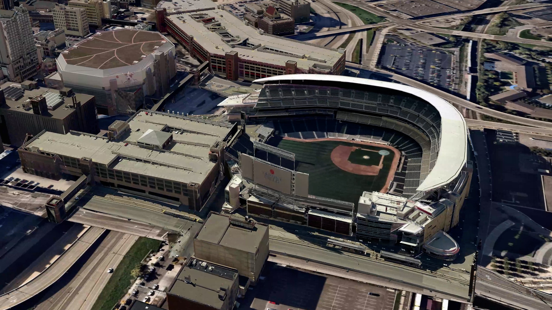
Sports reporting display: Target Field (Minneapolis)

Rivers display: Mississippi and St. Croix

Local terrain display: Durango and Hermosa area

Realistic water and bridge display: Lake Travis
Let’s talk
To learn more about how MAXimum Earth can help your map presentations and weather visualizations stand out among your competitors, contact our media experts today.
Contact us